
Washington DC
map
A vector map of Washington DC you can actually design with — every road, waterway and building on its own layer, ready to recolour and print at any size.
✦ Sign up and get free credits to start.
- Location
- 38.893°N, 77.021°W
- Style
- Klimt
- Export
- SVG · PNG
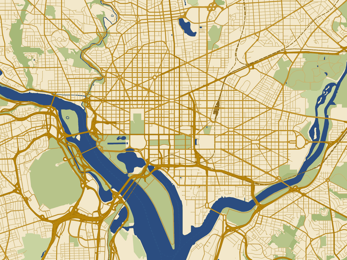
The source file
Washington DC, ready to design with
Start from the Klimt style, then make it your own. Every road, waterway, park and building arrives on its own named layer — open the file in Illustrator, Affinity or Figma, recolour it to match your work, and export Washington DC, District of Columbia as a crisp SVG or high-resolution PNG that stays sharp from postcard to poster.
- Format
- Layered SVG & high-res PNG
- Opens in
- Illustrator · Affinity · Figma · Inkscape
- Editable
- Every layer, every colour
- Scale
- True vector — print at any size
- Licence
- Commercial use with a small purchase
Use cases
Ways to use your Washington DC map
Posters & wall art
A framed print of the place that matters, tuned to your palette.
Editorial & print
Layered vectors that drop cleanly into magazines, books and reports.
Branding & packaging
Location maps for brand systems, packaging and pitch decks.
Invitations & events
Mark the spot on wedding stationery, save-the-dates and signage.
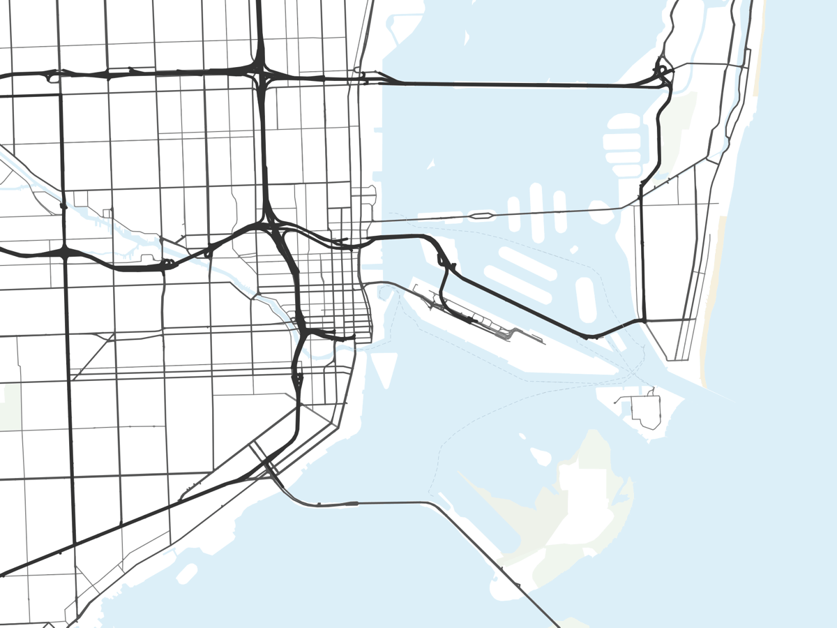
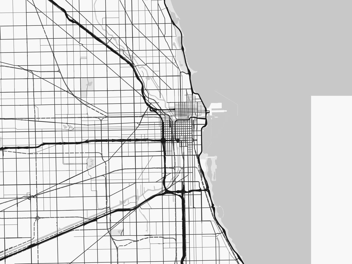
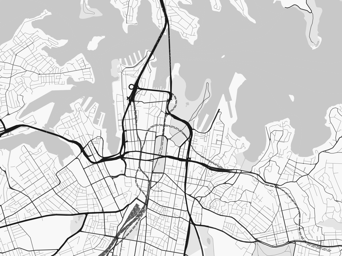
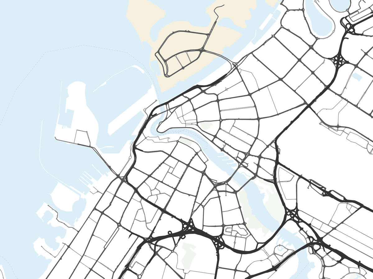
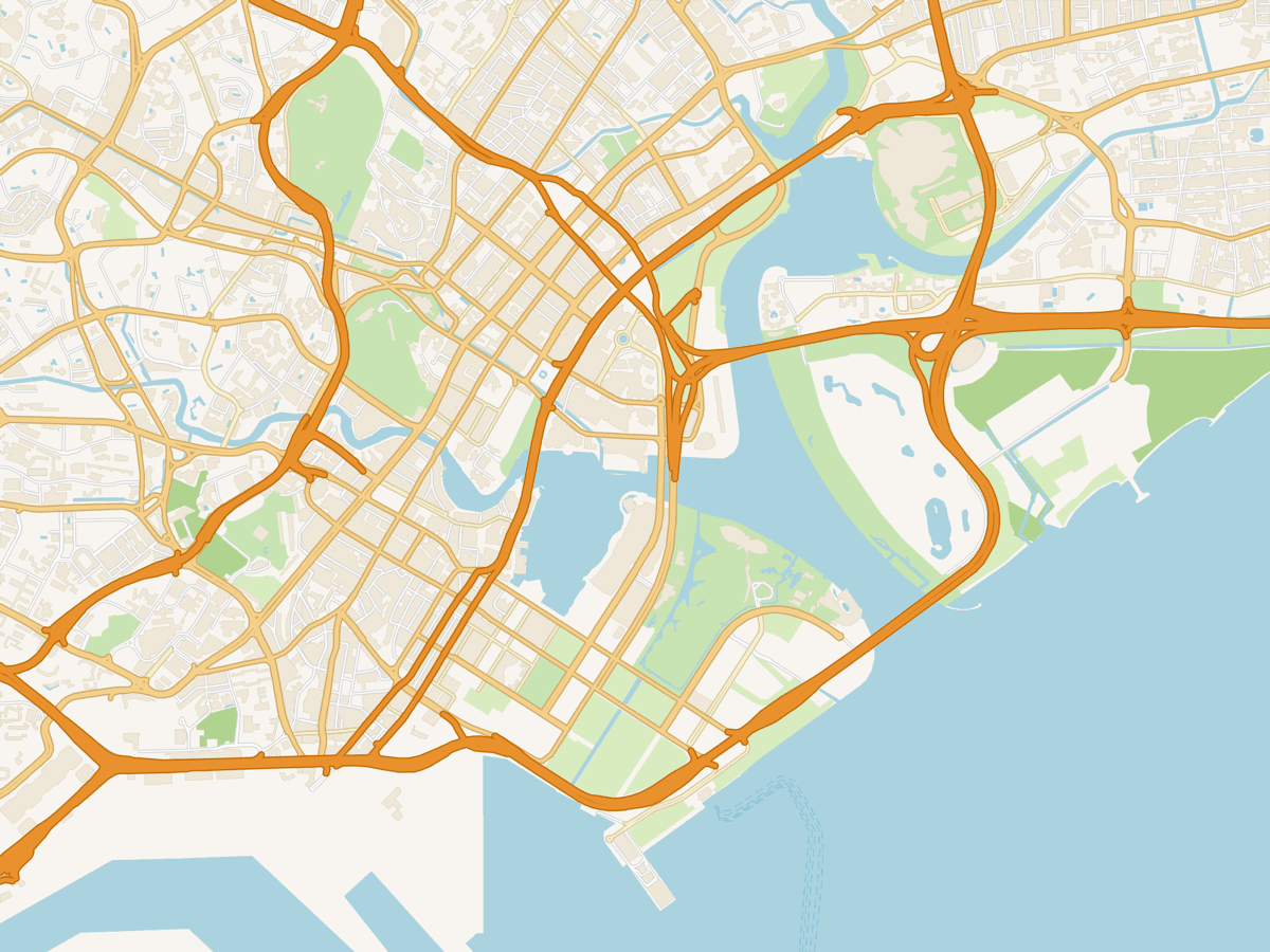
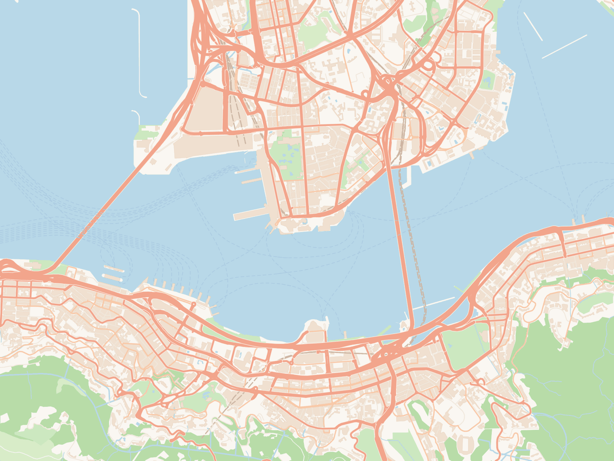
Make your own map of Washington DC
Open Washington DC in the Klimt style, restyle it to taste, and export in minutes. Sign up and you’ll get free credits to start.